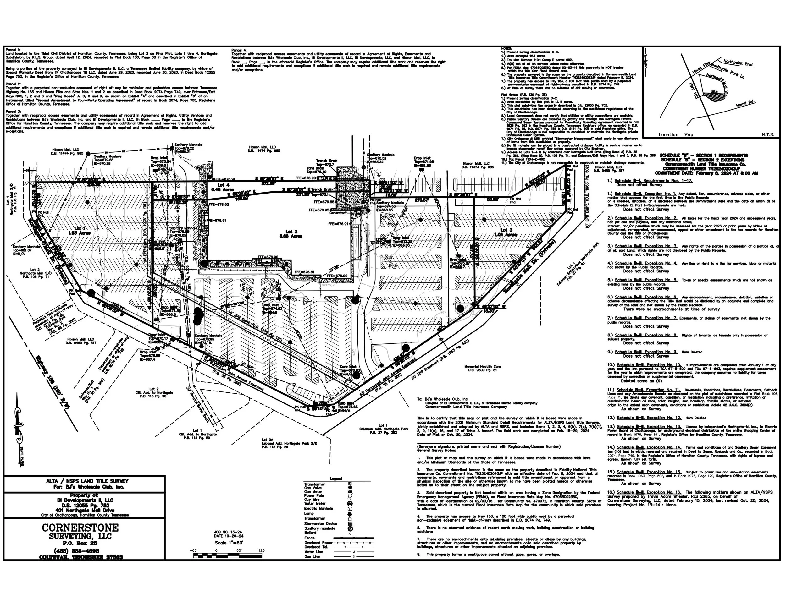
Tennessee’s trusted provider of professional land surveying services.

-

Boundary Surveys
Define your property with precision. Our Boundary Surveys establish exact property lines using historical records, deed research, and field measurements. Perfect for real estate transactions, fence construction, or resolving disputes.
-

Topographic Mapping
See the lay of the land. Our Topographic Mapping services provide detailed contour lines and features of your property — essential for architects, engineers, and site developers planning new construction or drainage systems.
-

Elevation Certificates
Protect your property from rising risks. Elevation Certificates verify your structure’s elevation relative to flood zones — a key requirement for flood insurance and FEMA compliance.
-

Subdivision Planning
From raw land to ready lots. Our Subdivision Planning services guide you from concept to approval, including layout design, parcel mapping, utility planning, and regulatory compliance.
Contact Us
Have a question for the Cornerstone team? Let us know!


