


Better understand land surveying in Tennessee.
Whether you're a property owner, developer, or fellow professional, we’ve gathered essential tools and references to help.
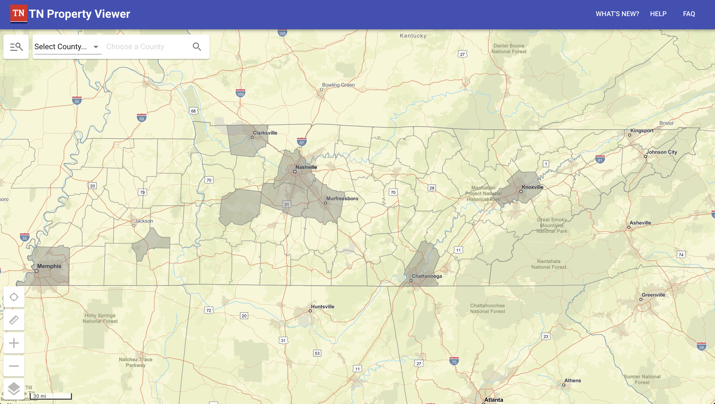
Tennessee Property Viewer
What it is: An interactive map from the Tennessee Comptroller’s Office
Use it for: Viewing property boundaries, ownership records, parcel IDs, and tax info across the state.

Frequently Asked Questions
-
You may need a land survey in Tennessee for several reasons, including:
Buying or selling property – to confirm boundaries and avoid future disputes.
Building a fence, driveway, or structure – to ensure improvements are placed within your property lines.
Dividing land or subdividing a parcel – required by local planning departments.
Resolving boundary disputes – to legally define and document property lines.
Getting a mortgage or title insurance – lenders often require a survey before closing.
If you're unsure, it's always wise to check with a licensed surveyor before starting any project involving land use or property lines.
-
Survey costs in Tennessee can vary depending on several factors:
Property size and terrain
Type of survey needed (e.g., boundary, topographic, ALTA/NSPS)
Availability of existing records
Location and accessibility
On average, you can expect:
Standard residential boundary surveys to range from $500 to $1,500
Larger rural or complex surveys may cost $2,000 or more
The best way to get an accurate estimate is to request a quote tailored to your property and needs.
-
The timeline depends on:
Type of survey
Property size
Complexity of boundaries
Weather and scheduling
Generally:
Residential boundary surveys take 1 to 3 weeks from start to finish.
More complex or rural surveys can take longer, especially if courthouse research or fieldwork is extensive.
Your surveyor will provide a more specific timeframe after reviewing your request.
-
Your final deliverables typically include:
A signed and sealed survey plat showing property boundaries, existing structures, easements, encroachments, and other relevant features.
Digital and/or hard copies of the survey (PDF or CAD format if requested).
Legal descriptions or metes-and-bounds descriptions, if required.
Staking of property corners with markers, if requested as part of the service.
If you need specific formats (like GIS data or ALTA standards), be sure to mention it when ordering.

For Developers & Professionals
ALTA/NSPS Land Title Survey Standards
What it is: Industry standards for commercial property surveys
Use it for: Understanding requirements for lender-approved surveys (often required in real estate transactions)
Tennessee Board of Examiners for Land Surveyors
What it is: The state licensing board for surveyors
Use it for: License verification, regulations, disciplinary actions, and complaint procedures
National Society of Professional Surveyors (NSPS)
What it is: The leading national organization for the surveying profession
Use it for: Surveying news, certifications, ethics guidelines, and advocacy
Tennessee Code Annotated – Land Surveying Laws
What it is: Tennessee’s official statutes
Relevant Section: Title 62, Chapter 18 (Land Surveyors)
Use it for: Reviewing legal definitions, standards, and requirements
Register of Deeds – Local Offices
What it is: Each county maintains land records such as deeds, plats, and easements.
Use it for: Looking up your property’s legal description, deed history, or recorded plats.
Tennessee Geographic Information Council (TNGIC)
What it is: A professional organization supporting GIS and mapping in Tennessee
Use it for: Data standards, geospatial news, and GIS events in the state